
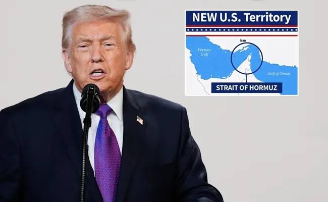
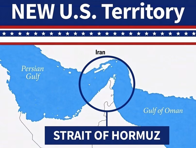
Amid growing tensions between Washington and Tehran, US President Donald Trump has intensified his claims to control the Strait of Hormuz by publishing an AI generated pictures that shows the vital waterways “NEW U.S. Territory.”
Trump shared a picture on Truth Social on Tuesday, August 18. It features blue map of Strait of Hormuz between Iran and the Arabian Peninsula. In the map, with the words “NEW U.S. Territory” written in strong font around the canal.
Iran negotiator: Strait of Hormuz will stay blocked until the US complies with demands.
According to Reuters News agency, senior Iranian negotiator Mohammad Bagher Ghalibaf stated that the Strait of Hormuz will stay closed until the US complies with the terms of a memorandum of understanding that the two Nations signed in June. The news agency cited remarks in state media. The statement was made earlier today.
Ghalibaf declared, “I want to make it very clear that the Strait of Hormuz will not be open until the American commitments outline in the memorandum of understanding…. are implemented.”
Ghalibaf informed the Iranian parliament that the requirements included the United States removing its embargo of Iranian ports, eliminating oil sanctions, freeing Tehran’s frozen assets, and seizing military activities and threats on all fronts.
Following the signing of the memorandum of understanding, the temporary truce broke down over the strait itself. On July 7th, Donald Trump declared the agreement to be “over” while Iran also referred it to as “suspended.” In accordance with the Memorandum of Understanding, both Nations were given 60 days to reach a definitive agreement. The agreement would address broader concerns including Iran’s nuclear program and the strait.
The future of navigation across the strait has been a topic of discussion between Iran and Oman in recent days. According to Tehran, the geographical coordinates of the route that both Nations and envisioned have been “agreed upon.” They are currently drafting a joint statement




Be First to Comment